top of page
from data to decisions, we measure from above
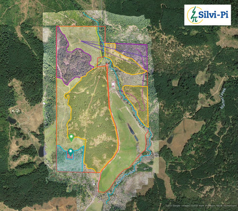
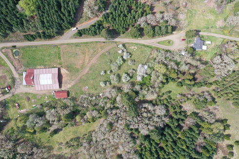
Ortho rectified photography (drone mapping) will provide you with current, highly detailed aerial photos. These can be imported into Google Earth, ESRI ArcMap, or any other GIS software as a TIF or KMZ file. These photo sets can be used to get updated acreages after management activities, verify stream courses for future project work, map new work progress, evaluate or monitor damage from natural disasters, and any other time where aerial photography would be of assistance.
bottom of page


